Belchenflue
n k rel="stylesheet" href="/assets/css/frenzy.css" />
May-October
There is parking in Langenbruck or Eptingen. Alternatively, there is limited parking on the Chilchzimmersattel if you want to drive up there.
The Belchenflue is a summit located on the border between the canton of Basel-Land and Solothurn. There is a twisting road over the Chilchzimmersattel nearby leading from Eptingen to Langenbruck that I have driven several times by motorbike without noticing the peak. From the road it is only 15 minutes to the top but I recommend you start in the quiet town of Langenbruck.
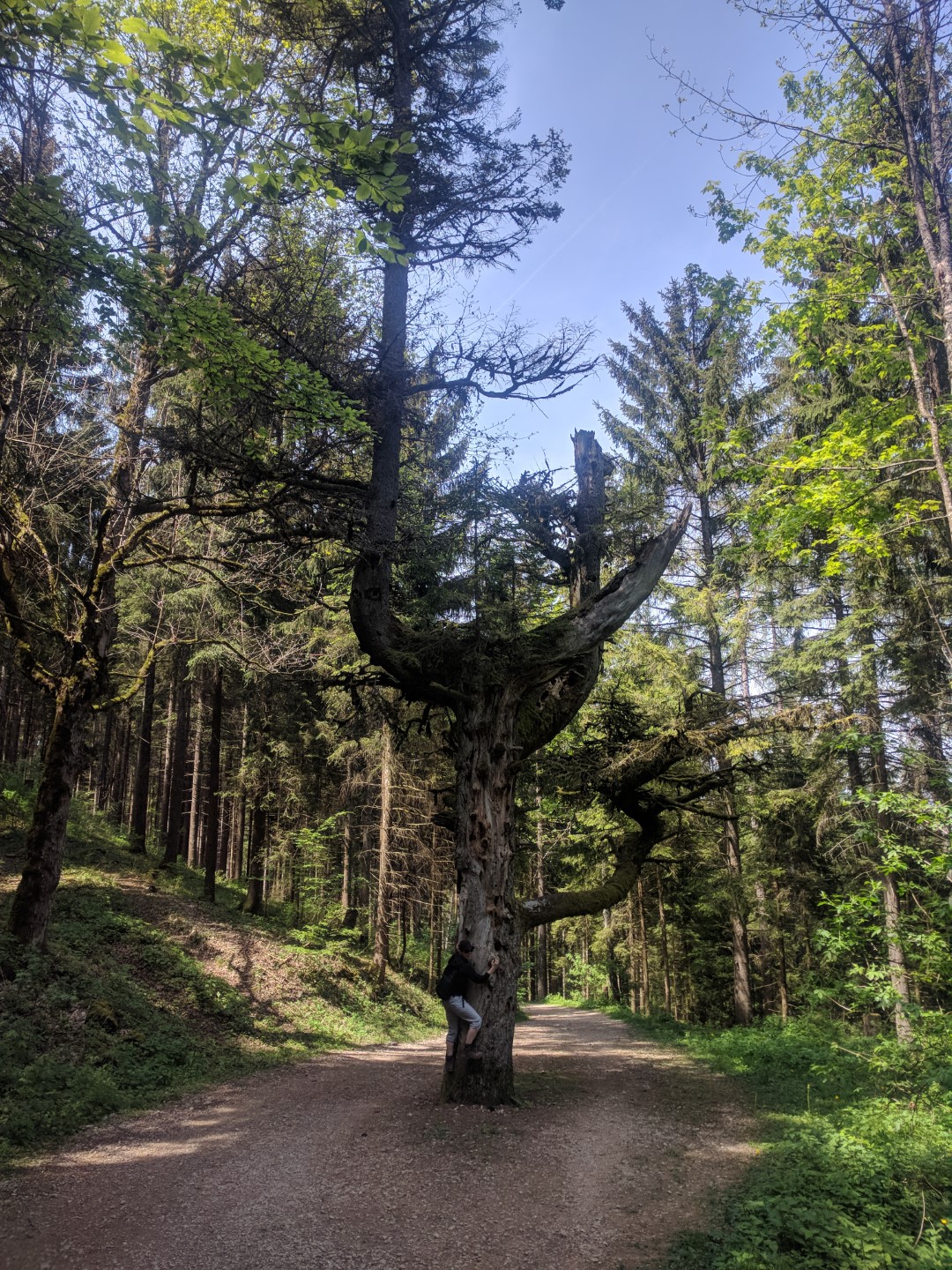
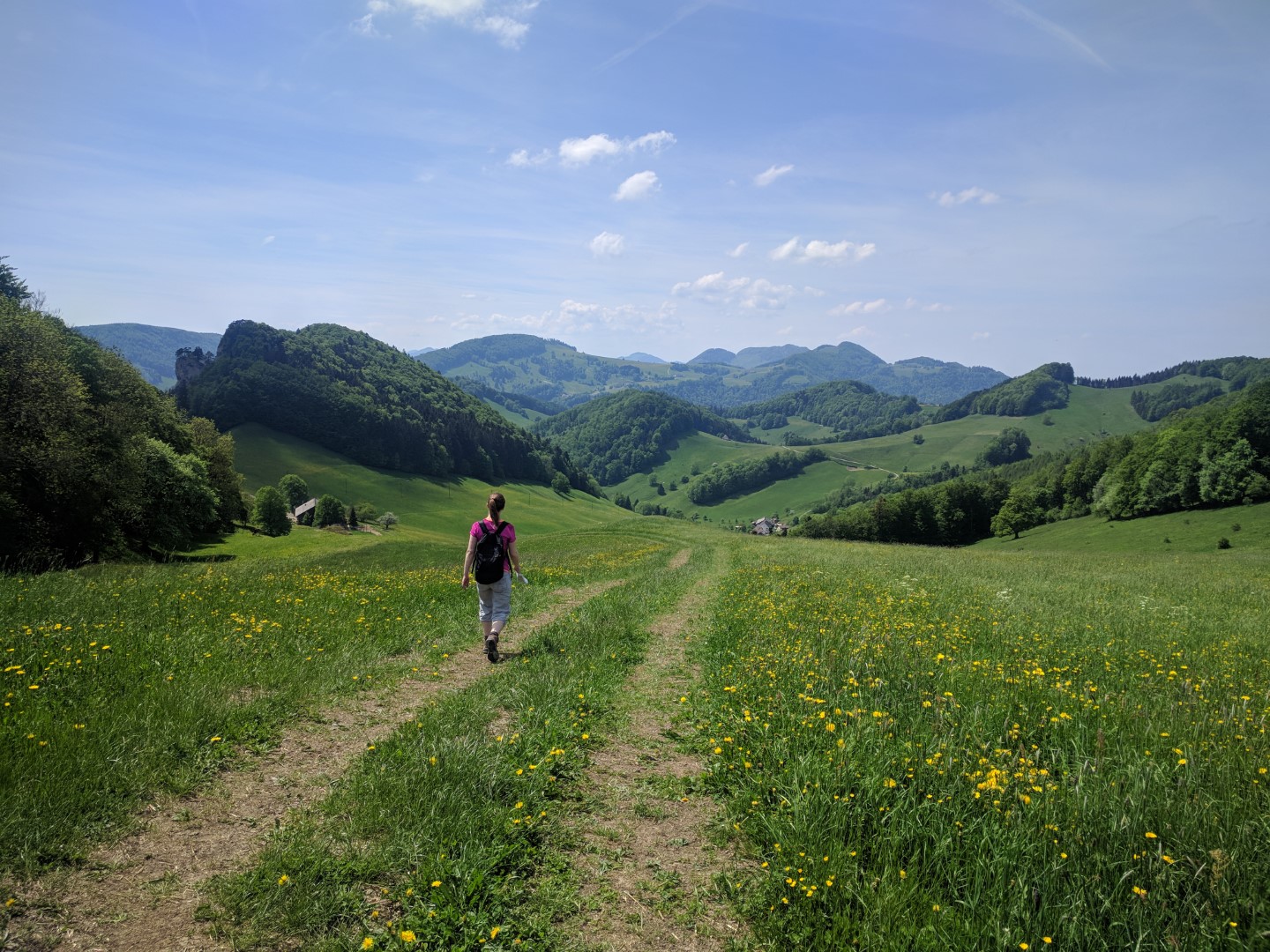
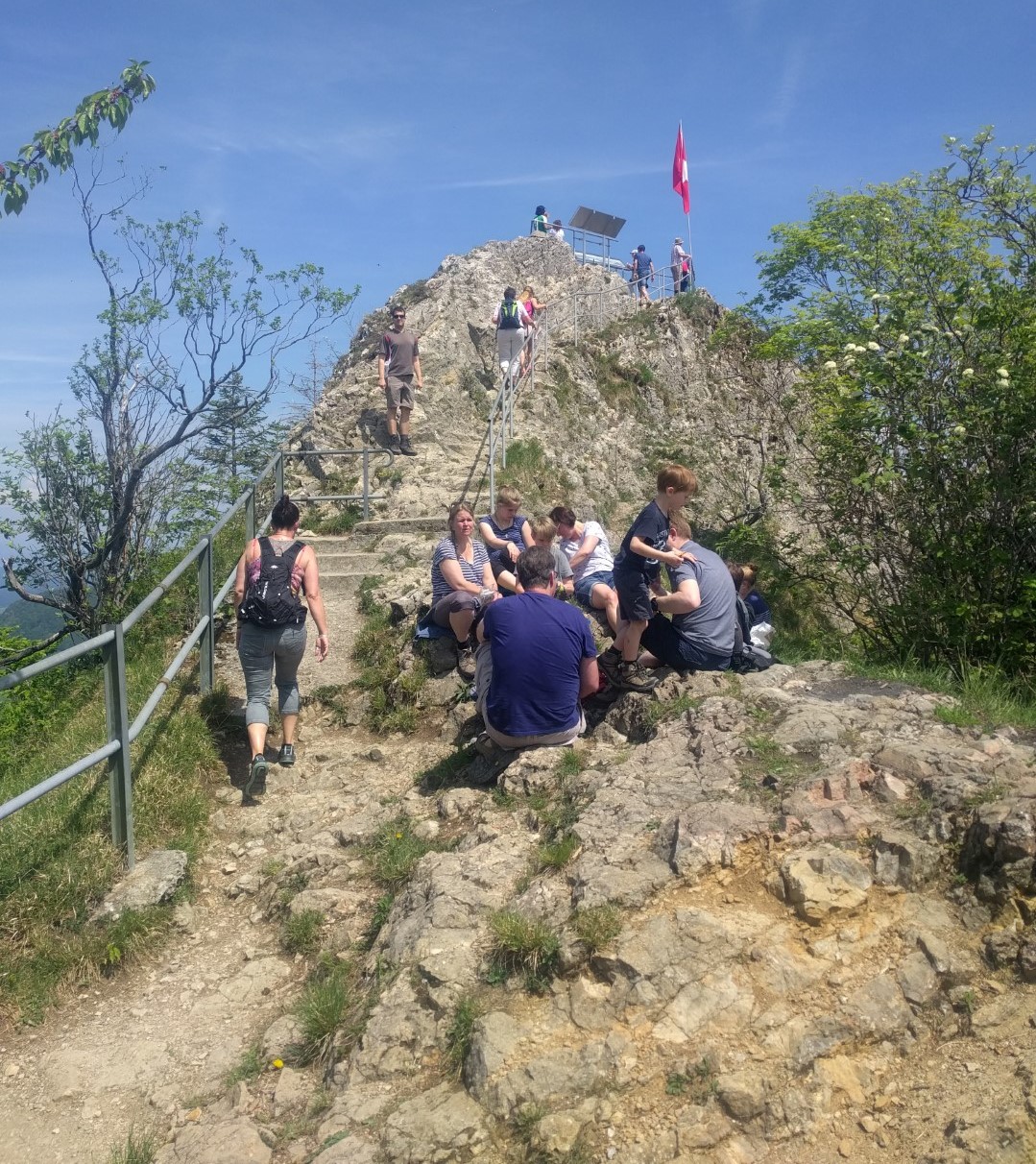
I suggest you start in Langenbruck and walk up from there. The path is well signed and leads you uphill for 2 hours. Some of the rout leads through forest and there are some nice spots to rest. If you prefer a restaurant there is the Dürstel pretty much in the middle. On the summit you get a mind-blowing view of the Jura and the Mittelland. But be warned if you are afraid of heights: the summit ends in a vertical drop of some 100m. There is a handrail, but if you are afraid of heights, you might not feel well on the very top. There are also some caves called Drachenloch (dragon hole) you can explore.
From there you have the option for a small detour to the restaurant Berghaus Oberbölchen, which is popular with motorcyclists especially in summer.
The way back leads you along the Geissflue back to Langenbruck. There are again plenty of picnic places along the path where you can roast a sausage or explore the ancient ruins of fortifications built during WW1. If you’re lucky you might even spot some chamois who roam there. Back in Langenbruck there is a Kneipp path where you can refresh your feet.
Pictures